
Surveying All of South Carolina Since 1982.
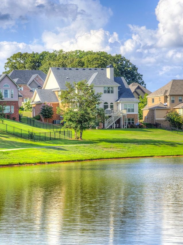
If your home or lot is in or near a flood zone, an elevation certificate can make a real difference in what you pay for flood insurance and in how confidently you build. Abraham Land Surveying has prepared FEMA elevation certificates for South Carolina homeowners, buyers and builders for decades, from Lake Murray and the Midlands to the coast. We offer flat-rate pricing. Call for a quote.
When you need one
- Your lender or insurance agent asked for one
- You’re buying a home or lake property in or near a FEMA flood zone
- You’re building and need to show the finished floor is above the required elevation
- You want to check whether a lower flood insurance rating might apply to you
- Flood maps changed in your area and you aren’t sure where you stand
What’s included / our process
- Call us. We’ll look up your property and FEMA flood map information and give you a flat-rate quote.
- Site visit. A licensed crew measures the elevations FEMA asks for, such as floor levels, the ground around the building, and equipment like HVAC units, and takes the required photos.
- Certificate. We complete and sign the official FEMA Elevation Certificate, ready for your insurance agent, lender or building official.
- Questions answered. We’re glad to explain what the numbers mean for your property.
Why Abraham Land Surveying
- Our clients include Chick-fil-A, Bojangles, Hampton Inn, Zaxby’s, Samsung, the U.S. Government, various SC counties, many municipalities, and thousands of private landowners
- Free estimates, always
- Surveying All of South Carolina Since 1982
- Licensed SC land surveyors with deep flood zone experience. Tad Abraham has spoken to the Mid-State Chapter of the SC Society of Professional Land Surveyors on new FIRM flood maps, and is a past-President and founding member of the Chapter. Tom Abraham was the first President of the Chapter.
- When we’re involved early on lake property, we can establish flood zone limits, set a benchmark for your builder, and verify construction along the way
- Simple flat-rate pricing with no surprises
Frequently Asked Questions
What is a FEMA elevation certificate?
It’s an official FEMA form that records how high your building sits compared to the expected flood level (the base flood elevation). Insurance companies use it to rate your flood policy, and a home that sits higher may qualify for a better rate.
Who can prepare an elevation certificate in South Carolina?
A licensed professional must certify it. Abraham Land Surveying’s licensed crews measure the required elevations, take the required photos, and complete and sign the certificate.
Do I need an elevation certificate when buying a lake house?
Yes, if the property is in or near a flood zone. Getting one before closing protects you from an unexpected flood insurance bill.
Is an elevation certificate the same as a survey?
No. A boundary survey shows your property lines, while an elevation certificate documents your building’s elevations for FEMA. They are often ordered together when buying a home.
Does an elevation certificate expire?
Generally it stays usable as long as the building and the flood map haven’t changed. Check with your insurance agent, and call us if anything has changed.
How is an elevation certificate priced?
We offer simple flat-rate pricing. Call (803) 276-8719 and we’ll look up your property’s flood map information and give you a quote.
Find out where your home stands before your next flood insurance bill.
Free estimates. Call (803) 276-8719 for a flat-rate quote, or contact us online.
Surveying All of South Carolina Since 1982.