
Surveying All of South Carolina Since 1982.
Before you design a house, a site plan or a road, you need an accurate picture of the ground. A topographic survey maps the elevations, contours and features of your property, such as trees, buildings, utilities, drainage and more, so engineers, architects and builders can design with confidence. Abraham Land Surveying pairs traditional fieldwork with UAV (drone) imagery and LiDAR to deliver that picture, from small residential lots to large commercial and industrial sites.
Need a large tract or utility corridor mapped fast? See our drone LiDAR surveys: up to 1,000 acres a day, delivered in days, not weeks.
When you need one
- An engineer or architect needs a base map for site design
- You’re planning a new home, addition, pool or driveway on a sloped lot
- You’re dealing with drainage or grading problems
- A commercial or industrial site needs pre-engineering or as-built data
- You need current aerial imagery or an orthomosaic of a large tract
- You need detailed 3D data of an existing structure
What’s included / our process
- Scope. We’ll talk through what your designer needs: contour interval, features, limits and deliverables.
- Ground survey. Crews collect detailed points with best-in-industry equipment from Trimble, Leica and Carlson.
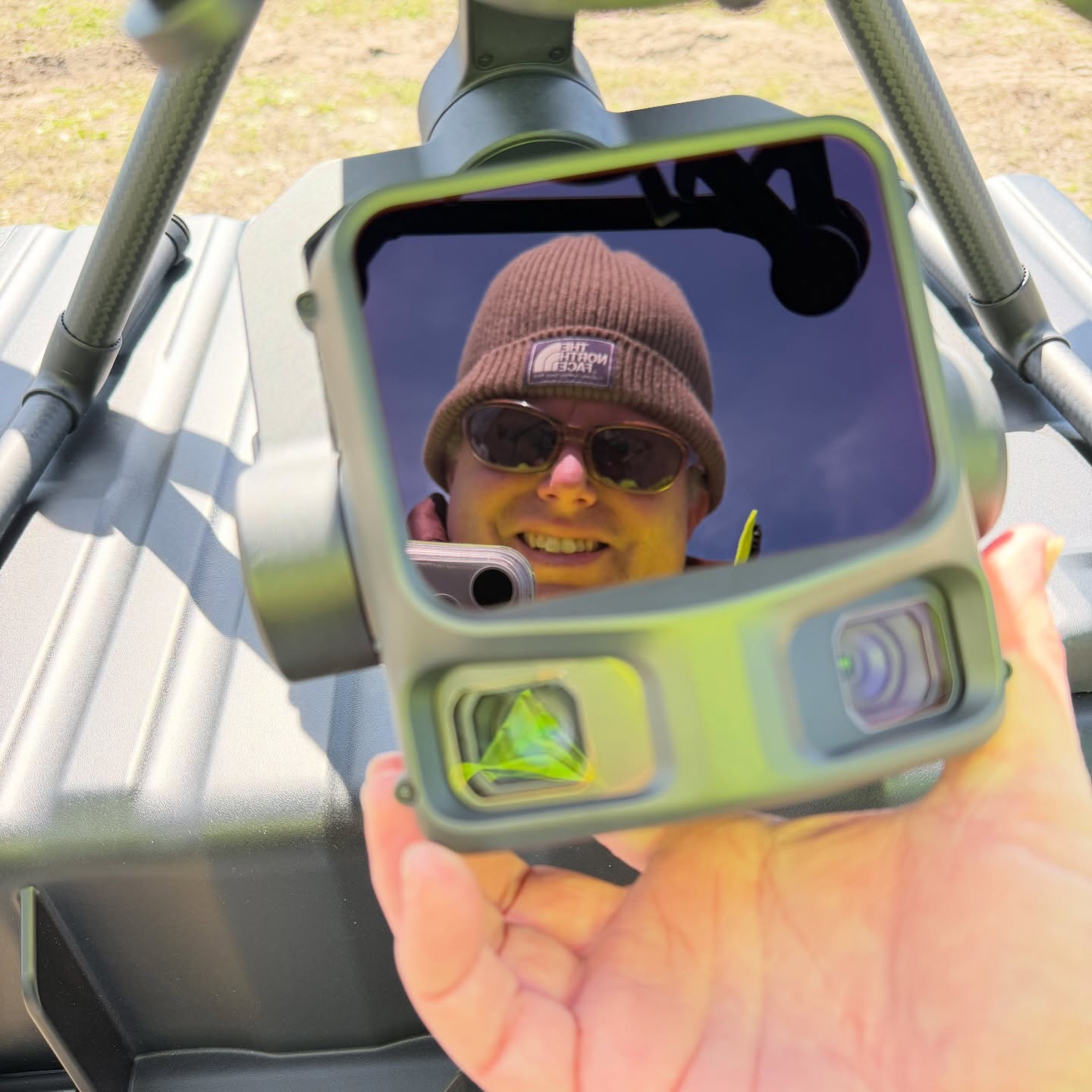
- UAV/drone and LiDAR. For larger or wooded sites, we fly drones for orthomosaics and aerial imagery and use drone LiDAR for terrain. Our newest drone LiDAR setup produces very clean, flat surfaces and impressive canopy penetration. On one recent ALTA job, the orthomosaic was done processing before the crew got back to the office!
- Deliverables. You get CAD/GIS-ready maps and contours, plus large prints from our in-house HP DesignJet wide-format plotter.
Why Abraham Land Surveying
- Our clients include Chick-fil-A, Bojangles, Hampton Inn, Zaxby’s, Samsung, the U.S. Government, various SC counties, many municipalities, and thousands of private landowners
- Free estimates, always
- Surveying All of South Carolina Since 1982
- Early adopters of UAV LiDAR with hundreds of hours of drone flight time
- High-precision 3D scanning: we used a Trimble SX12 scanning total station to scan Darlington Raceway and the SAFER barriers at Rockingham Speedway so the barriers could be built offsite to fit exactly. Trimble featured both projects.
- Giving back: we donated a boundary survey and LiDAR scan of Greenville Pickens Speedway to help the track’s revival
- Topo and as-built work for commercial clients like Bojangles, from pre-engineering through construction
Frequently Asked Questions
What is a topographic survey?
A topographic survey maps the elevations, contours and features of a property; sometimes additional features, such as trees, buildings, utilities and drainage, are included for an “As-Builtâ€, so engineers, architects and builders can design with confidence.
What’s the difference between a topographic survey and a boundary survey?
A boundary survey shows where your property lines are; a topographic survey shows the shape of the land and what’s on it. Many projects need both.
Should I get a drone survey or a ground survey?
It depends on the site. Drones and LiDAR shine on larger, open or wooded tracts, while ground crews add fine detail, and we’ll recommend the right mix for your project.
Can drone LiDAR see through trees?
In most wooded areas, yes: laser pulses pass through gaps in the canopy and return ground measurements, which makes drone LiDAR well suited to wooded South Carolina land.
What do I get at the end of a topographic survey?
Usually a signed topographic plat with contours and features, plus CAD/GIS-ready digital files for your engineer. Aerial orthomosaics are available too.
Get an accurate picture of your site before you design.
Free estimates. Call (803) 276-8719 or tell us about your project.
Surveying All of South Carolina Since 1982.