
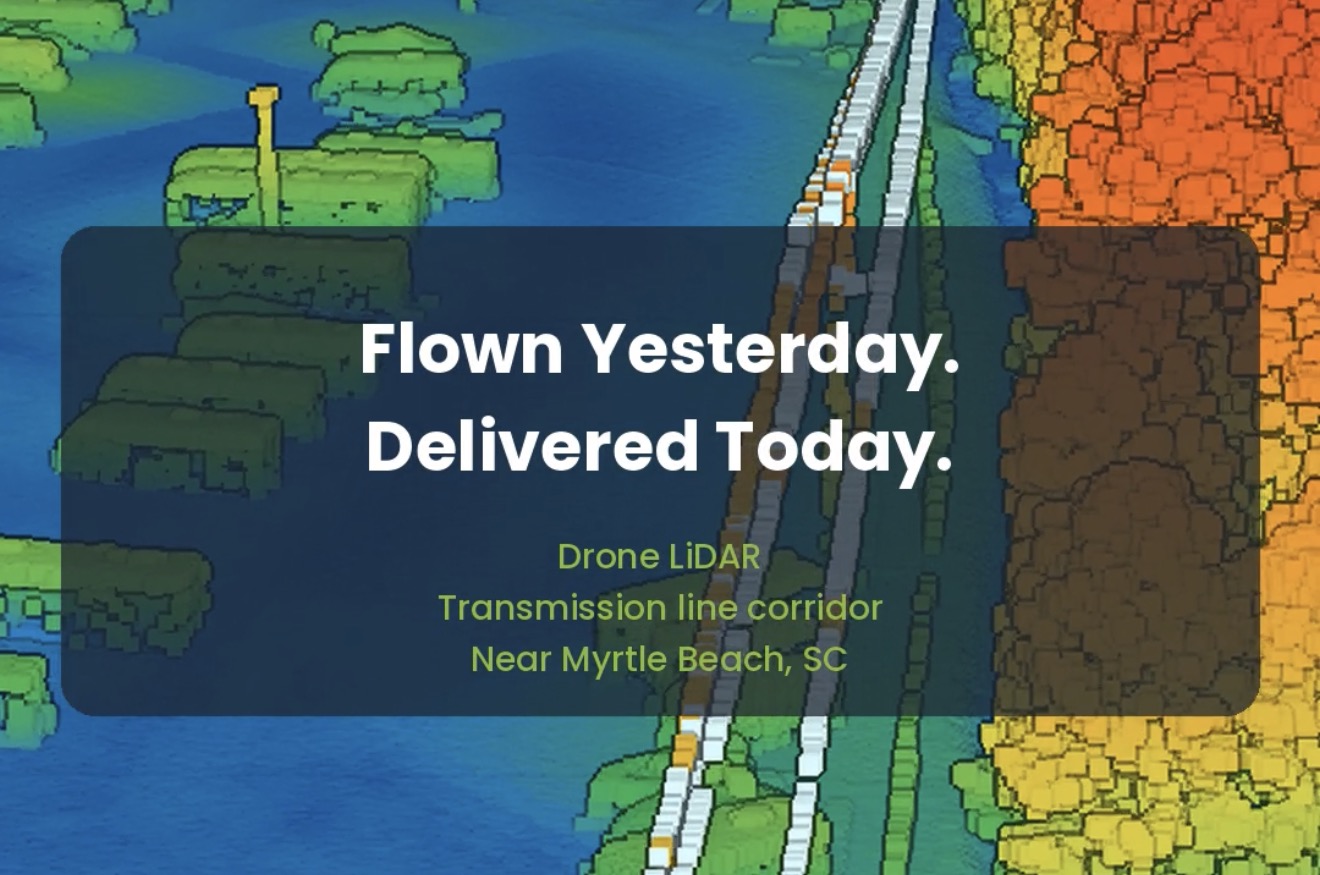
Flown Yesterday. Delivered Today: Drone LiDAR on a Myrtle Beach Transmission Corridor
Some turnarounds still surprise people. Yesterday we flew a transmission line corridor near Myrtle Beach with drone LiDAR. Twenty-four hours later the client had the classified point cloud, the orthomosaic and DWG linework — all in South Carolina State Plane coordinates (NAD83(2011), NAVD88, international feet). The classified point cloud is ready for intake into PLS-CADD.…
Read more