
Flown Yesterday. Delivered Today: Drone LiDAR on a Myrtle Beach Transmission Corridor
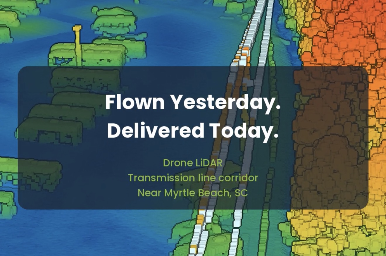
Some turnarounds still surprise people. Yesterday we flew a transmission line corridor near Myrtle Beach with drone LiDAR. Twenty-four hours later the client had the classified point cloud, the orthomosaic and DWG linework — all in South Carolina State Plane coordinates (NAD83(2011), NAVD88, international feet).
The classified point cloud is ready for intake into PLS-CADD. The work was performed by a licensed Professional Land Surveyor.
In the flythrough below, the cloud starts colored by height above ground, then switches to a colorized RGB view, and finishes with the wires and structures highlighted.
Whether you need corridor mapping for utilities, civil design or land development, we can turn drone LiDAR around in days, not weeks.
Need drone LiDAR on your next corridor or site? Get a free quote
Surveying All of South Carolina Since 1982
surveysc.com | (803) 276-8719