
Drone Mapping Through Rough Weather (and a Lot of Granite)
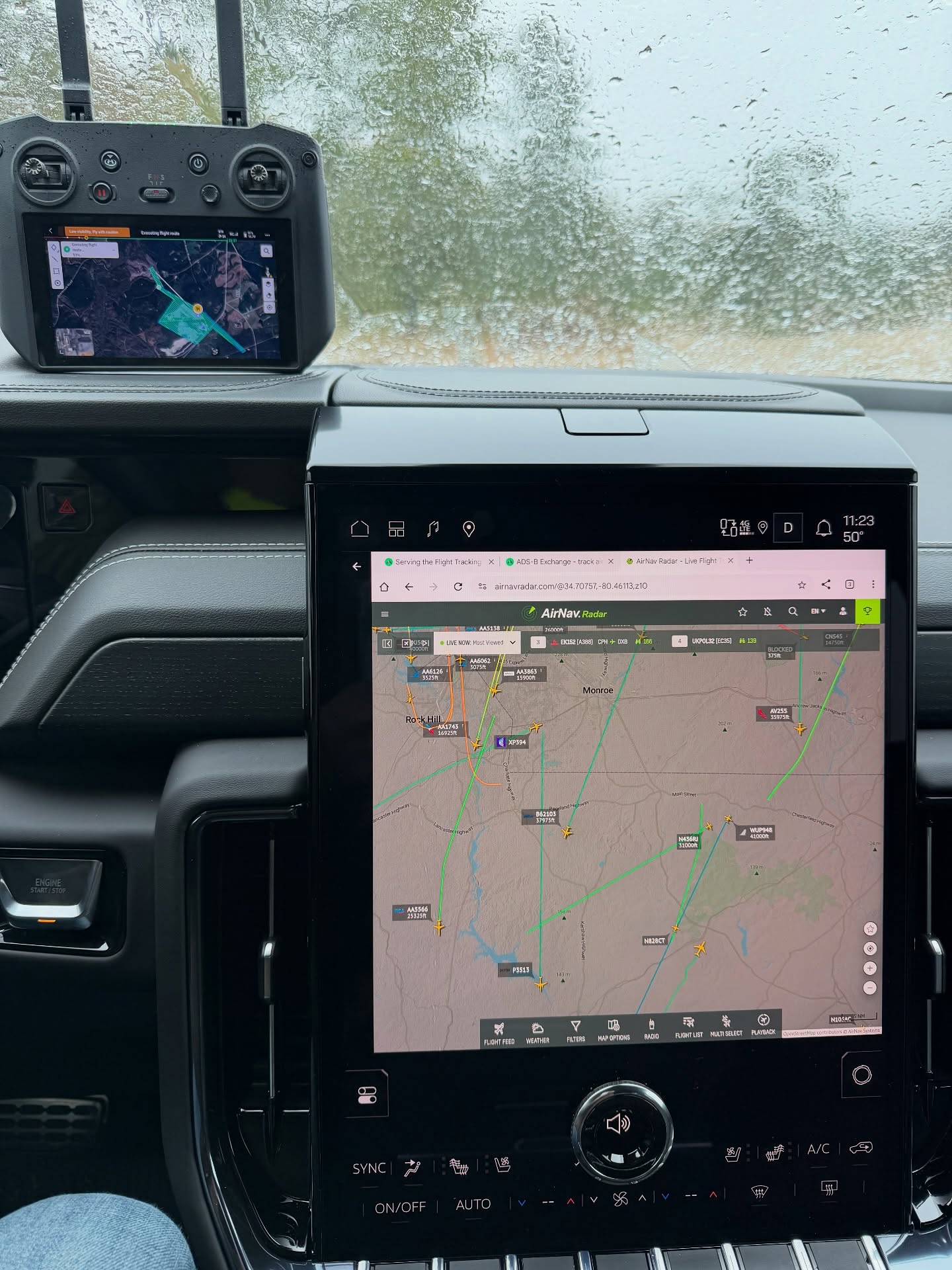
Drone mapping depends heavily on the weather, and early this November gave us some brutal flying conditions. Rather than push it, our UAV team saved our larger LiDAR drone (“big bird”) for better conditions. The wait paid off: the orthomosaic turned out fantastic.
An orthomosaic, or “ortho,” is a detailed aerial image stitched together from many drone photos and corrected so it can be measured like a map. Owners, engineers and builders get an up-to-date, true-to-scale picture of a site, often much faster than with traditional methods alone.
Safety in the air is part of the job too. Our crew runs AirNav on the truck to track nearby aircraft broadcasting ADS-B, which helps our pilots stay aware of what else is flying in the area.
The same month also brought a job with granite. Lots of granite. Every site is different, and that variety is one of the things we enjoy most about surveying across South Carolina.
If you’re planning a project that could use aerial mapping, orthomosaics or LiDAR, give us a call.
Surveying All of South Carolina Since 1982.
#surveySC