
Another Generational Step Forward in Drone LiDAR
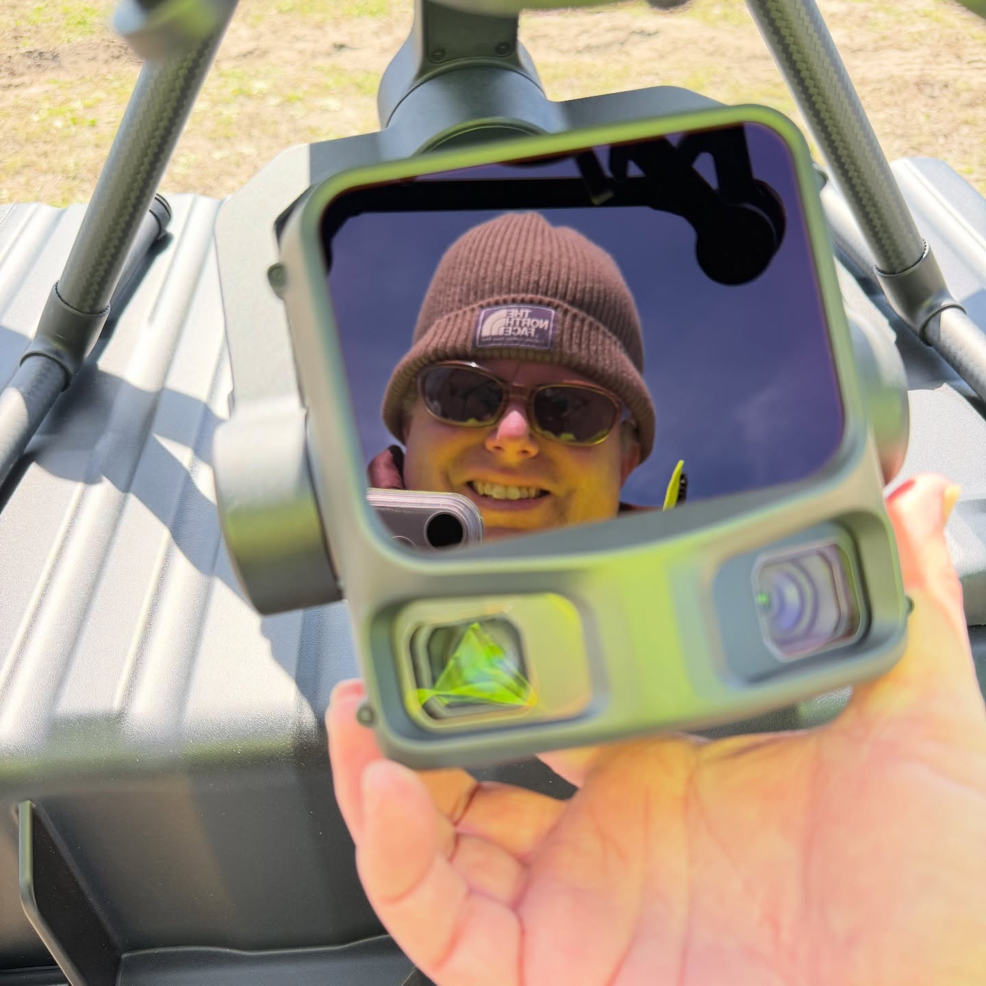
Drone LiDAR keeps getting better, and this spring we took another generational step forward in scan capability with the DJI M400 and L3 LiDAR sensor.
The early results speak for themselves: very flat surfaces and, in our words, “good grief at the canopy penetration.” For clients, that means cleaner data on hard surfaces and a better look at the ground under trees, which matters for topographic mapping, drainage design and planning on wooded sites.
We’re often asked how the new system compares to earlier drones. Our older M300 is still a potent platform. The M400 with the L3 stands out for its range above ground level and its flight time per battery. Longer, higher-capacity flights mean more ground covered per trip and more efficient fieldwork.
Of course, not every scanning day goes to plan. One March day at the race track brought rain. Scanning days at the track are supposed to be dry! Weather is part of the job, and our crews adjust to get the data right.
If your project could benefit from aerial LiDAR, we’d be glad to talk it through.
Surveying All of South Carolina Since 1982.
#surveySC