
Why Electrical Substations Make for the Coolest Point Clouds
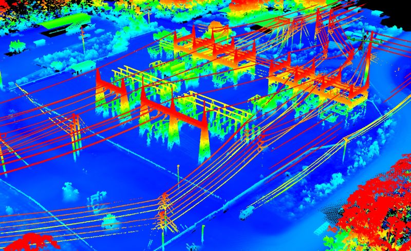
Some of our favorite images to come out of the office aren’t photographs at all. They’re point clouds. And electrical substations make for some of the coolest point cloud screenshots we’ve ever seen.
A point cloud is a 3D model made of millions of precisely measured points, collected with laser scanning (LiDAR). In a complex place like a substation, with its towers, wires, insulators and equipment, a scan captures shapes and locations in remarkable detail. Engineers and designers can then measure and plan from the data without repeated trips into the field.
Our drone team stayed busy this winter too. On one late-day job, our pilot pulled up for the last flight of the day and found the crew had already clocked out and had their “toy” out, full send. Yes, it made it into the processed ortho! Moments like that remind us that good work and good fun can share the same job site.
Whether you need LiDAR scanning, UAV mapping, orthomosaics or GIS-ready data, our team has the tools and experience to deliver.
Surveying All of South Carolina Since 1982.
#surveySC